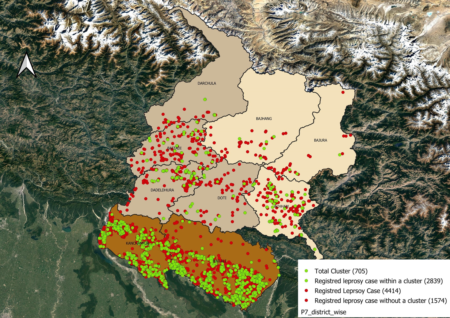
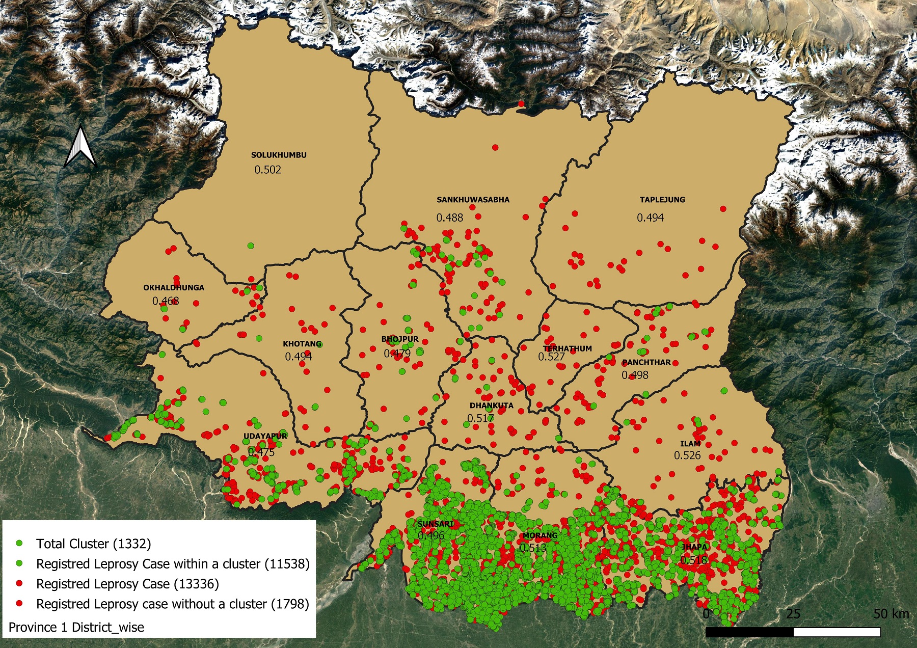
COR-NTD GIS Mapping
Dissemination program was conducted on 12th November 2021 in Dhangadi and 15th November 2021 in Biratnagar.
At the end of this project, we will have developed a best practice guide for MoHs to implement or roll out PEP interventions and case finding strategies using geospatial methods. The best practices include quantifications for data sets and data systems to be used to do spatial analysis, workflows and tools to perform the analysis, and training materials to train local GIS data collectors on how to collect spatial data and data managers in the use of GIS analysis techniques to identify clusters. All these materials and best practices can immediately be used for PEP programs and other planning.
Throughout the project, the knowledge gained from this research and the materials developed will be shared with various stakeholders in the countries through joint meetings and discussions. The joint development of the best practices will contribute to the acceptability within the country. At the end of the project, we will organize national dissemination workshops to present the best practices and train data managers in geospatial analysis.
The involvement of the MoH and local field staff is very important in each phase of this project. They can indicate the gaps and needs in their datasets and data systems they work with daily. Moreover, through capacity building by providing the countries with training and training materials on spatial data collection and spatial analysis, knowledge will be transferred allowing GIS mapping to be implemented as a routine activity for local health staff during case finding activities.

